Koh Tao beaches / Lighthouse Bay
Lighthouse Bay: The Remote Cove at the North-East Tip
Also called Ao Gluay Teun: boulders, calm water and no road.
Koh Tao beaches / Lighthouse Bay
Also called Ao Gluay Teun: boulders, calm water and no road.
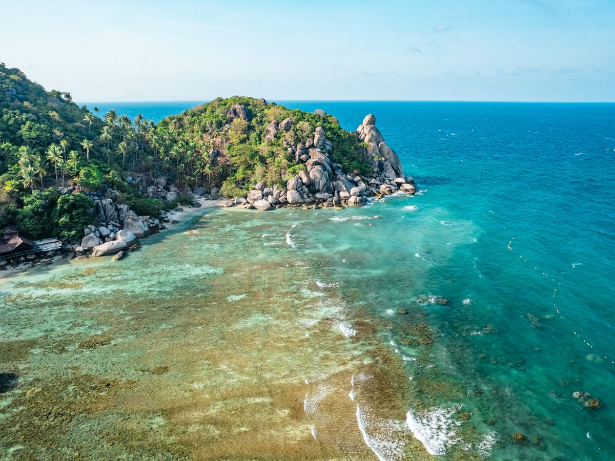
Lighthouse Bay, known in Thai as Ao Gluay Teun, sits at the north-east tip of Koh Tao, near a small navigation light. There is no road down, so it stays wild: big rocks, two small pockets of sand and very clear water.
The easiest way is by longtail boat. Ask at Sairee or Mae Haad, or join a snorkel tour that stops there. Experienced hikers can also reach it on jungle trails from the north of the island, but the paths are steep, unmarked in places and slippery after rain. Bring plenty of water and tell someone where you are going.
The best reef is a little offshore, so expect to swim. Fish gather around the boulders, and the bay is sheltered on calm days. There are no lifeguards or facilities, so go with a friend and snorkel only in flat water.
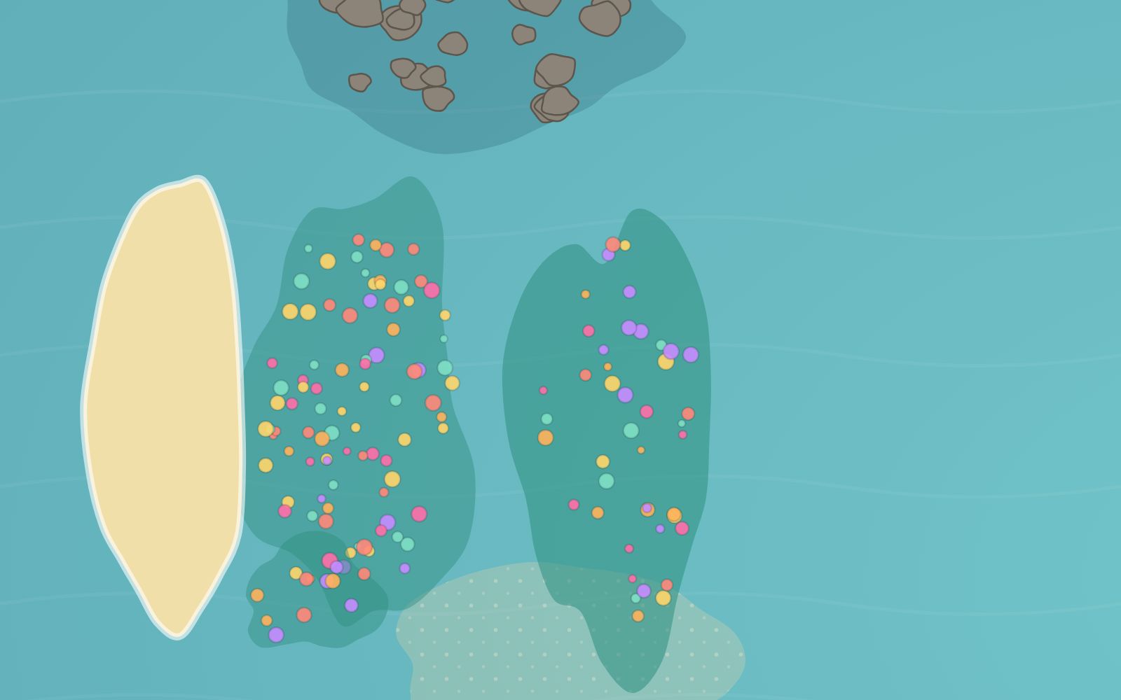
The bay is also a dive site: see our Lighthouse Bay dive guide.
From about February to September. In the north-east monsoon (around October to December) the bay faces the wind and waves.
By longtail boat from Sairee or Mae Haad, on a snorkel tour, or on steep jungle trails for experienced hikers.
No. Bring water, food and everything you need, and take your rubbish back.
Ao Gluay Teun.
Checked in November 2026. Things change on a small island: confirm locally before you go.