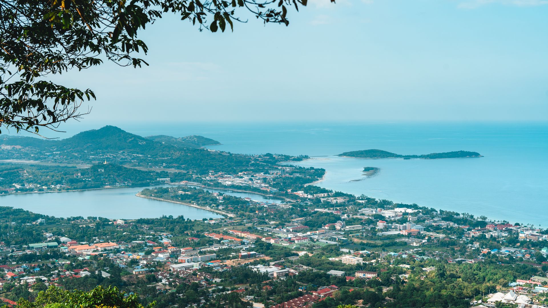
Viewpoints & Hikes on Koh Tao: Best Lookouts & Hiking Trails
Where to find the best views on the island, how hard each climb is, and how long it takes.
Where to find the best views on the island, how hard each climb is, and how long it takes.
The best Koh Tao viewpoints are rarely far from the beach, but they feel a world away. Granite boulders, jungle ridges and long views over bays you may have dived or snorkelled. Most are short walks, and many are run by small family businesses that charge a modest fee, often with a drink included.
This guide covers the main spots for Koh Tao hiking, with how to get there, how tough it is, how long it takes and the best time of day. Fees and access change, especially after the rainy season, so use the times as a guide and carry some cash.
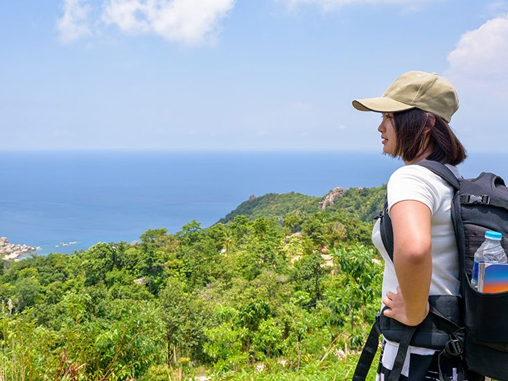
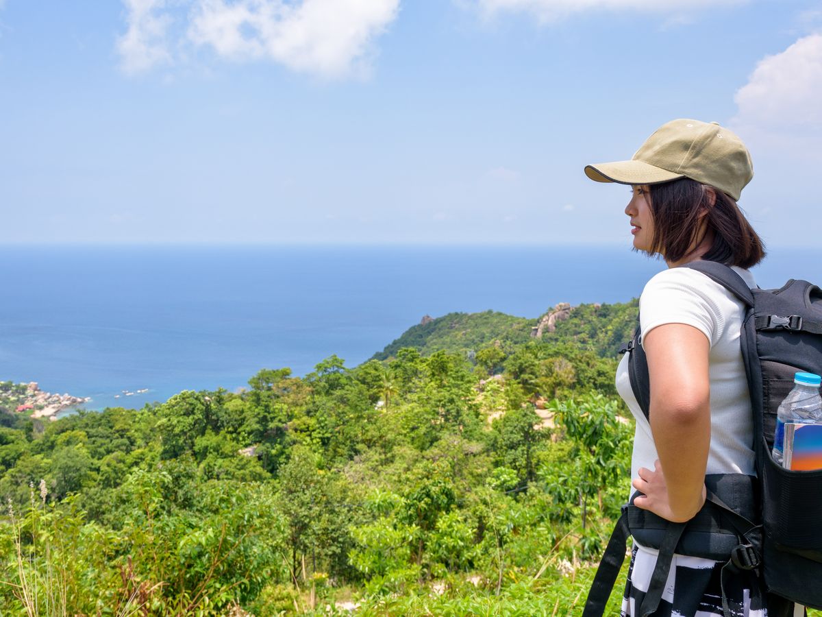
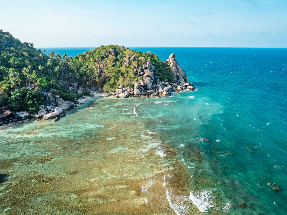
If you only do two, make it one sunrise and one sunset. For sunrise, John-Suwan and Tanote Peak face the right way. For sunset, head west to Two View's West Coast viewpoint, Fraggle Rock or Mango Viewpoint. Love Koh Tao faces east and suits morning coffee better than sunset.
The details of every spot, with a map link, are in the list below. A few quick pointers: the roads to the north and the middle of the island are steep and rough, so confident scooter riders only. Taxis and trucks are an option, and the walk up is often quicker than you expect. If you are unsure about the ride, read our getting around guide first.
| Viewpoint | Difficulty | Time up | Fee | Best time |
|---|---|---|---|---|
| John-Suwan | Moderate to hard, ropes | About 10 to 20 min | Small fee | Sunrise |
| Love Koh Tao | Very easy (road) | None | Small fee or buy a drink | Morning |
| Mango Viewpoint | Easy once there, hard road | Short walk | Small fee | Sunset |
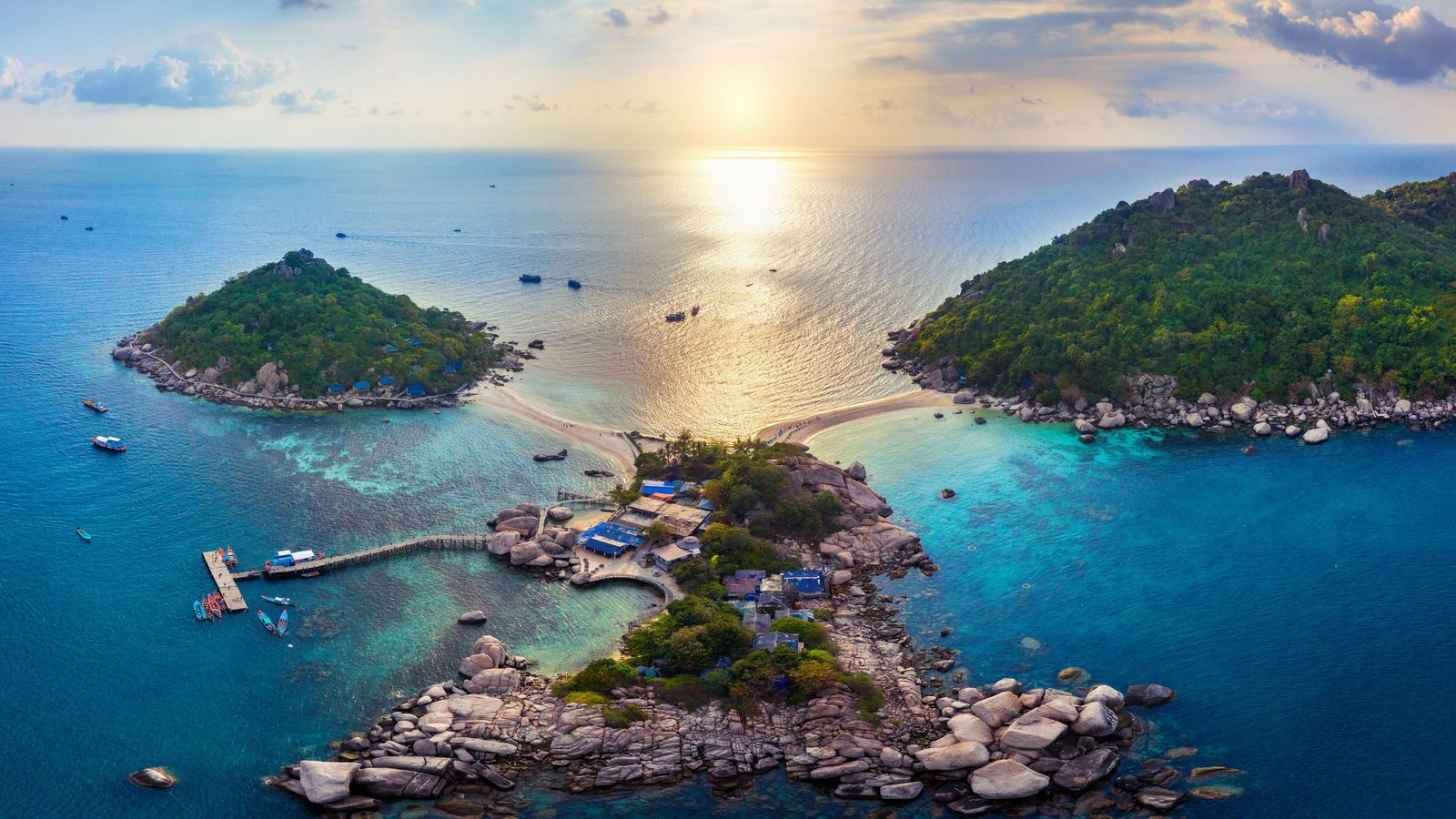
| Koh Nang Yuan | Easy to moderate, steps | About 15 to 20 min | Island entrance fee | Early or late |
| Two View / West Coast | Easy | About 10 to 15 min | Small fee, drink included | Sunset |
| Tanote Peak | Easy | About 5 to 15 min | Included with Two View | Sunrise |
| Fraggle Rock | Moderate, scramble | About 5 to 20 min | Small fee | Sunset |
| Top Point | Steep | About 20 to 25 min | Small fee, drink included | Late afternoon |
| Sai Nuan trail | Easy | 20 to 30 min | Free (Jansom Bay charges) | Late afternoon |
Some of the best walks link a bay with a viewpoint, so you earn a swim at the end.
Browse more places to stay active in activities and services, or see how it all fits into a trip in our itinerary.
Sunrise is around 6 am and sunset around 6 pm through much of the year, with small shifts by season. For sunrise, leave 30 to 45 minutes before first light to climb in the dark with a torch. For sunset, arrive about an hour early to grab a spot, since small summits like John-Suwan fit only 10 to 15 people.
The driest, clearest months are generally January to April. Rain usually starts in late October and peaks in November, which makes steep dirt sections muddy and the boulder scrambles slippery. If it has rained, skip the hardest climbs.
Respect private land, close gates and leave nothing behind.
Starts near Freedom Beach; a short, steep scramble with ropes to a small boulder summit, about 10 to 20 minutes up, with a small fee; go at sunrise.
Open in Google Maps →Roadside cafe viewpoint in the middle of the island, about 15 minutes by scooter from Sairee, with a small fee waived if you order; faces east, so it suits morning.
Open in Google Maps →West-coast viewpoint with a small restaurant, reached by a steep, rough road (or about 45 minutes on foot from Life Koh Tao Resort), small fee; good for sunset.
Open in Google Maps →Reached by boat, then a steep concrete stairway of about 15 to 20 minutes; there is an island entrance fee and plastic bottles are banned; go at opening time.
Open in Google Maps →Easy jungle trail of under 500 m to a west-facing rock, with a small fee that includes a drink; the same ticket covers Tanote Peak.
Open in Google Maps →Short, shaded walk from Two View to a ledge near the island's highest point, best at sunrise or golden hour.
Open in Google Maps →Short hike from Exotic Hive with ropes and mossy steps and a small fee; popular for sunset, so bring a torch for the way back.
Open in Google Maps →Steep climb of 20 to 25 minutes from the road near Dusit Buncha Resort, with a small fee that includes a drink; the resort itself is also a sunset spot with views of Koh Nang Yuan.
Open in Google Maps →Easy coastal path past Banana Rock Bar to Sai Thong and Jansom Bay, 20 to 30 minutes, free apart from Jansom Bay's own fee.
Open in Google Maps →John-Suwan is the classic for sunrise, while Two View's West Coast viewpoint and Fraggle Rock are popular for sunset. Love Koh Tao is the easiest if you want little effort.
Many do, usually a small fee paid in cash, and some include a drink. John-Suwan, Mango, Two View and Fraggle Rock typically charge, while Love Koh Tao takes a small fee or a purchase.
Yes, for short walks. Trails are steep and hot rather than long, and link bays with viewpoints. Wear grippy shoes and carry plenty of water.
Arrive about an hour before sunset, which is around 6 pm for much of the year. Dry months from January to April give the clearest skies.
Yes, if you go at sunrise or sunset. Many paths have no lighting, so use a torch or phone light for the way down.
Easy ones are Love Koh Tao, Two View and Tanote Peak. John-Suwan, Fraggle Rock and Top Point need care on rock scrambles, and the roads to some spots are tough on a scooter.
Checked in November 2026. Opening hours and timetables change: confirm locally before you go.